French and Indian War College
Lesson #2 - Understanding geography and how to make effective use of it.
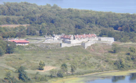
Cadets learned about the importance of geography in the French and Indian War. There were no paved roads at that time. The "highways" were the rivers and lakes. You could move more stuff faster and farther by water. Thus, the need to protect and defend the waterways.
Cadets received a map of North America circa 1755. Using the map, the cadets completed a geography exercise. Next, the cadets took on the role of French officers and placed seven forts on the maps in the areas they thought were important. Mr. M then showed them where the real forts are actually located. It was fun to see if there choices matched up with what the French really did during the war.
Cadets also took their "Ranks" quiz.


No comments:
Post a Comment